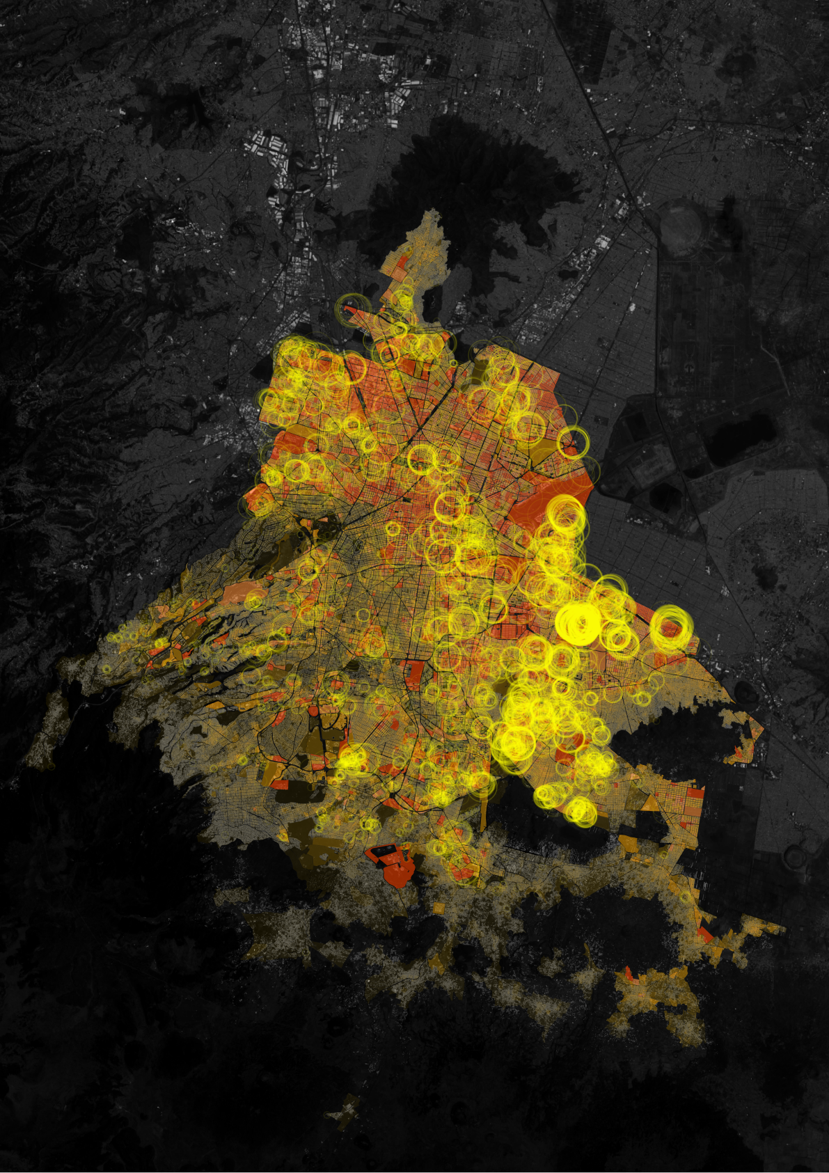
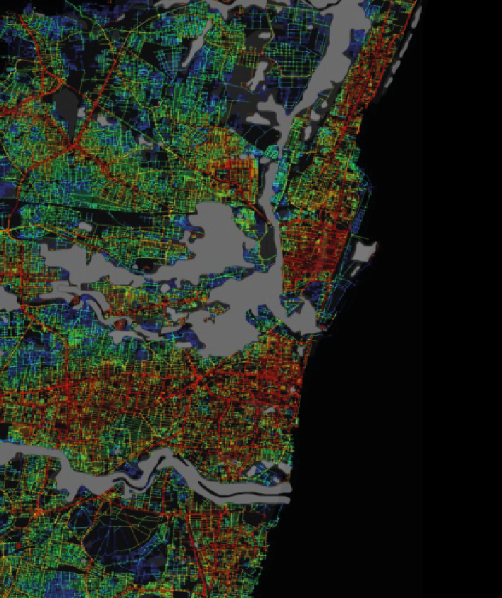
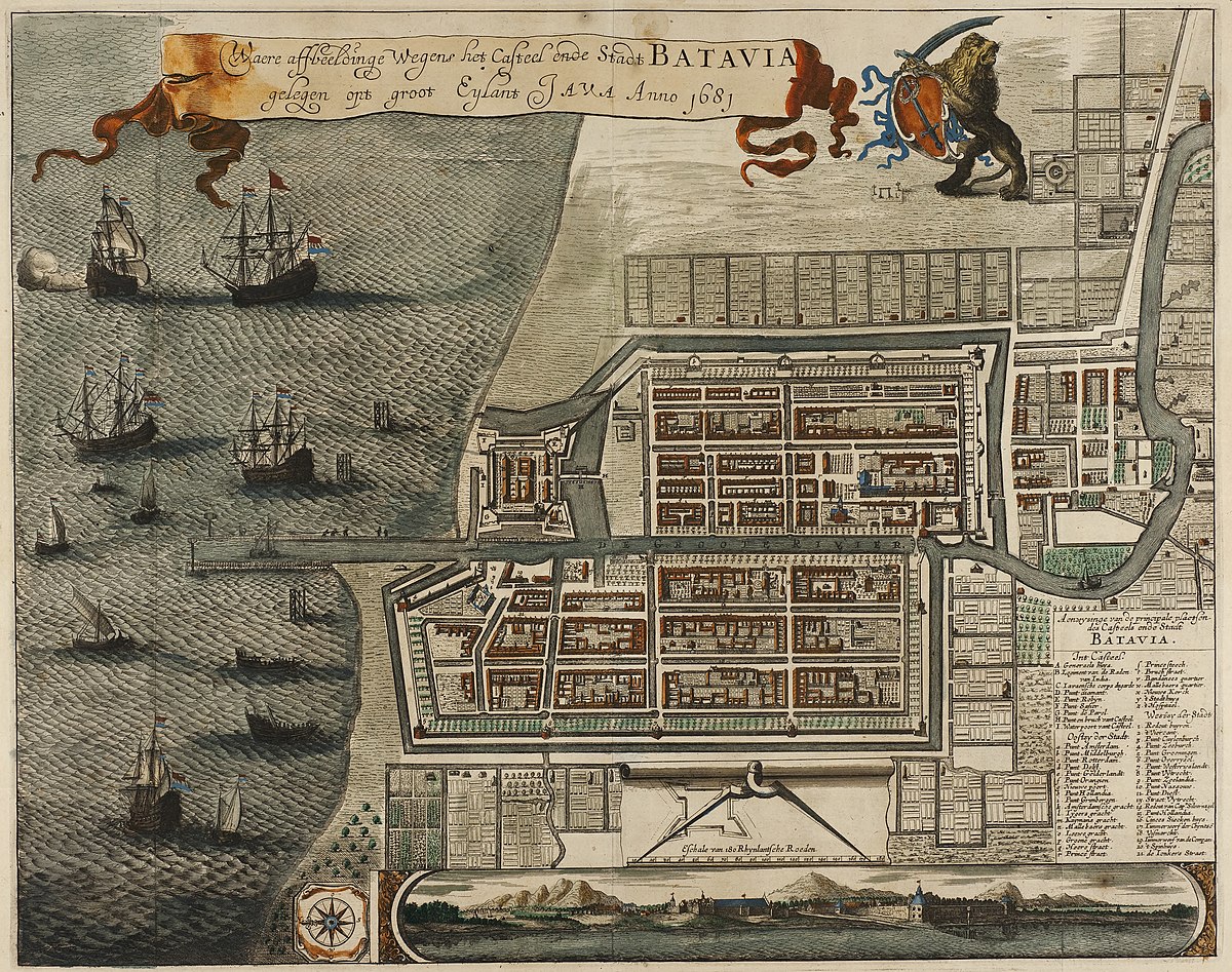
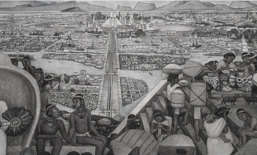
I am exploring geospatial AI and what it can (and cannot) tell us about space, environmental justice, and inequality.
I see space as shaped by the relationships and everyday practices that unfold through its materiality.
This curiosity has taken me across geographies, dimensions, and disciplines, from urbanism to public policy, and now computer science.
Questions I'm thinking about
How do spatial AI tools shape the way we understand territories?
What might they overlook?
Can they help us better understand and address spatial inequalities?
Have something in mind? Drop me a line.
Elsewhere online
Around Singapore?
Usually around here at the Urban Analytics Lab, NUS.